Number Of Area: 0 PRINT
Satellite Footprint
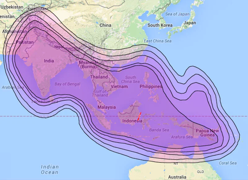
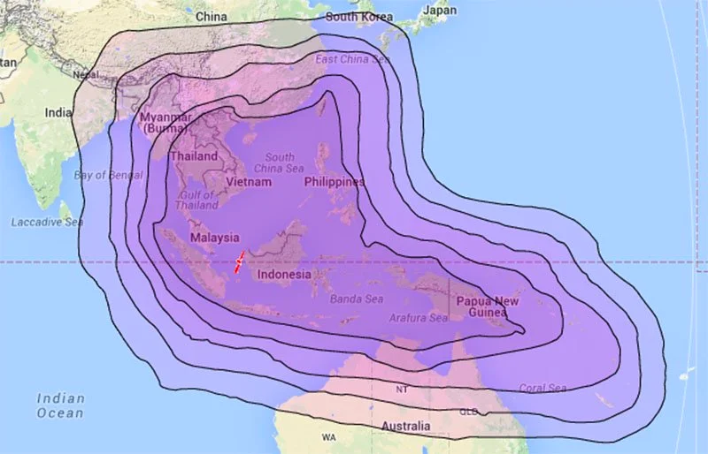
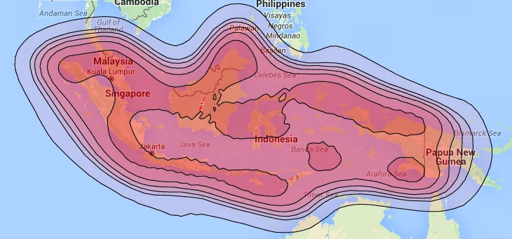
Lintasarta utilizes satellites to facilitate our VSAT service. The satellites are Indosat’s Palapa D satellite, Telkom’s Telkom 1 satellite and Telkom’s Telkom 2 satellite and Chinasat’s Chinasat 11 satellite. Lintasarta’s KU Band satellite utilizing the Indosat’s Palapa D satellite, covers all regions in Indonesia. Adding to the KU Band satellite, Lintasarta’s C satellite covers all ASEAN and Pacific regions, including Indonesia. Using satellite ensures smooth delivery of Lintasarta’s services with competitive bandwidth even in bad weather.